Property Information
mobile view
| Serial Number: 08:013:0012 |
Serial Life: 1957... |
|
|
Total Photos: 2
|
| |
|
|
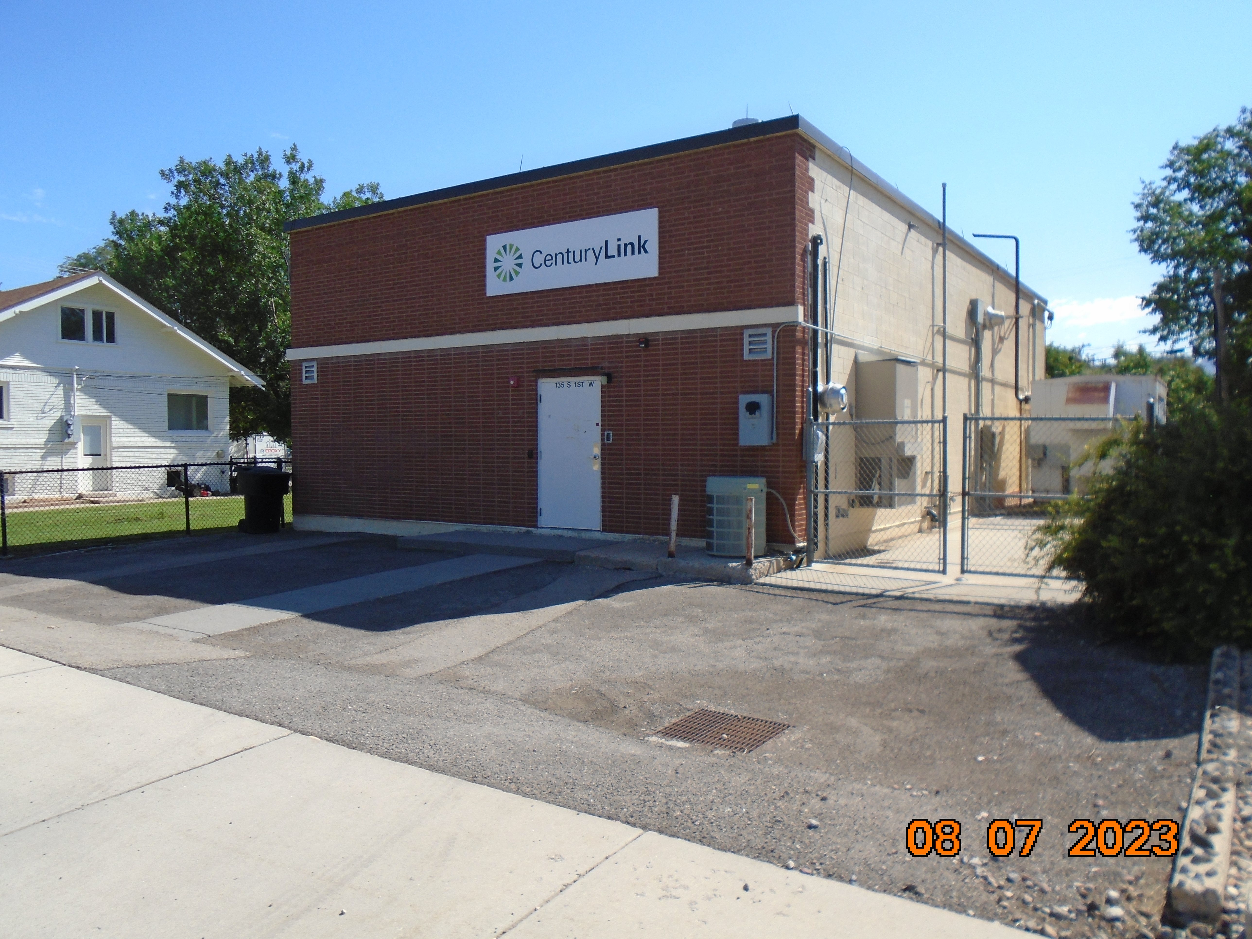
| Property Address: 135 S 100 WEST - PAYSON |
|
| Mailing Address: %PROPERTY TAX DEPARTMENT 1025 ELDORADO BLVD BROOMFIELD, CO 80021-8254 |
|
| Acreage: 0.101802 |
|
| Last Document:
17823-1956
|
|
| Subdivision Map Filing |
|
| Taxing Description:
COM S 102.63 FT FR NW COR. BLK 17, PLAT A, PAYSON CITY SURVEY; S 50 FT; E 88.69 FT; N 50 FT; W 88.69 FT TO BEG. AREA 0.102 AC.
*Taxing description NOT FOR LEGAL DOCUMENTS
|
|
- Owner Names
- Value History
- Tax History
- Location
- Photos
- Documents
- Aerial Image
| |
----- Real Estate Values ----- |
---Improvements--- |
---Greenbelt--- |
Total |
| Year |
Com |
Res |
Agr |
Tot |
Com |
Res |
Agr |
Tot |
Land |
Homesite |
Tot |
Market Value |
| 2024 |
$100,800 |
$0 |
$0 |
$100,800 |
$139,400 |
$0 |
$0 |
$139,400 |
$0 |
$0 |
$0 |
$240,200 |
| 2023 |
$84,400 |
$0 |
$0 |
$84,400 |
$132,200 |
$0 |
$0 |
$132,200 |
$0 |
$0 |
$0 |
$216,600 |
| Year |
General Taxes |
Adjustments |
Net Taxes |
Fees |
Payments |
Tax Balance* |
Balance Due |
Tax District |
| 2025 |
$0.00 |
$0.00 |
$0.00 |
$0.00 |
|
$0.00
|
$0.00 |
170 - PAYSON CITY |
| 2024 |
$0.00 |
$0.00 |
$0.00 |
$0.00 |
|
$0.00
|
$0.00 |
170 - PAYSON CITY |
| 2023 |
$2,122.46 |
$0.00 |
$2,122.46 |
$0.00 |
|
$0.00
|
$0.00 |
170 - PAYSON CITY |
* Note: Original tax amount (Does not include applicable interest and/or fees).
| Entry # |
Date |
Recorded |
Type |
Party1 (Grantor) |
Party2 (Grantee) |
| 3187-2015 |
12/04/2014 |
01/14/2015 |
QCD |
UNITED STATES OF AMERICA |
SOUTH UTAH VALLEY ELECTRIC SERVICE DISTRICT |
| 114949-2008 |
10/20/2008 |
10/22/2008 |
CT |
STATE OF UTAH |
WHOM OF INTEREST |
| 107508-2008 |
09/30/2008 |
09/30/2008 |
RESOL |
BOARD OF COUNTY COMMISSIONERS UTAH COUNTY |
WHOM OF INTEREST |
| 17823-1956 |
12/17/1956 |
12/17/1956 |
WD |
ELLSWORTH, JESSE H & MARY E |
MOUNTAIN STATES TELEPHONE AND TELEGRAPH COMPANY THE |
Main Menu Comments or Concerns on Value/Appraisal - Assessor's Office
Documents/Owner/Parcel information - Recorder's Office
Address Change for Tax Notice
This page was created on 5/20/2024 12:36:07 PM |
