Property Information
mobile view
| Serial Number: 53:428:0003 |
Serial Life: 2010... |
|
|
Total Photos: 1
|
| |
|
|
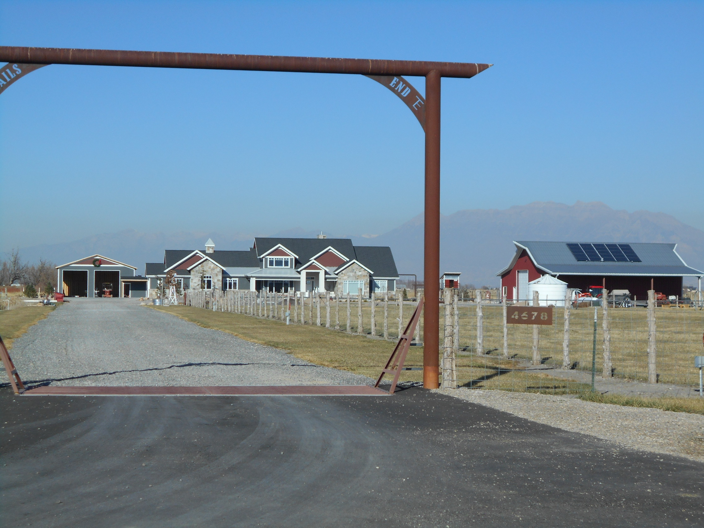
| Property Address: 4678 W 8400 SOUTH - PAYSON DISTR |
|
| Mailing Address: 4678 W 8400 S PAYSON, UT 84651 |
|
| Acreage: 5.548 |
|
| Last Document:
109246-2022
|
|
| Subdivision Map Filing |
|
| Taxing Description:
LOT 3, PLAT A, TAYLOR FARMS SUBDV. AREA 5.548 AC.
*Taxing description NOT FOR LEGAL DOCUMENTS
|
|
- Owner Names
- Value History
- Tax History
- Location
- Photos
- Documents
- Aerial Image
| |
----- Real Estate Values ----- |
---Improvements--- |
---Greenbelt--- |
Total |
| Year |
Com |
Res |
Agr |
Tot |
Com |
Res |
Agr |
Tot |
Land |
Homesite |
Tot |
Market Value |
| 2024 |
$0 |
$246,200 |
$203,000 |
$449,200 |
$0 |
$677,200 |
$91,900 |
$769,100 |
$2,491 |
$112,000 |
$114,491 |
$1,218,300 |
| 2023 |
$0 |
$246,200 |
$203,000 |
$449,200 |
$0 |
$647,200 |
$88,000 |
$735,200 |
$2,284 |
$112,000 |
$114,284 |
$1,184,400 |
| 2022 |
$0 |
$262,500 |
$216,400 |
$478,900 |
$0 |
$449,900 |
$112,600 |
$562,500 |
$2,311 |
$112,000 |
$114,311 |
$1,041,400 |
| 2021 |
$0 |
$210,000 |
$127,300 |
$337,300 |
$0 |
$338,300 |
$102,400 |
$440,700 |
$2,263 |
$80,000 |
$82,263 |
$778,000 |
| 2020 |
$0 |
$175,000 |
$113,700 |
$288,700 |
$0 |
$338,300 |
$102,400 |
$440,700 |
$2,247 |
$26,000 |
$28,247 |
$729,400 |
| 2019 |
$0 |
$160,000 |
$77,300 |
$237,300 |
$0 |
$338,300 |
$106,000 |
$444,300 |
$2,253 |
$26,000 |
$28,253 |
$681,600 |
| 2018 |
$0 |
$140,000 |
$77,300 |
$217,300 |
$0 |
$294,700 |
$102,100 |
$396,800 |
$2,512 |
$26,000 |
$28,512 |
$614,100 |
| 2017 |
$0 |
$120,000 |
$77,300 |
$197,300 |
$0 |
$314,100 |
$82,700 |
$396,800 |
$2,634 |
$26,000 |
$28,634 |
$594,100 |
| 2016 |
$0 |
$90,000 |
$77,300 |
$167,300 |
$0 |
$232,900 |
$84,500 |
$317,400 |
$2,581 |
$26,000 |
$28,581 |
$484,700 |
| 2015 |
$0 |
$85,000 |
$77,300 |
$162,300 |
$0 |
$212,300 |
$87,100 |
$299,400 |
$2,565 |
$26,000 |
$28,565 |
$461,700 |
| 2014 |
$0 |
$85,000 |
$77,300 |
$162,300 |
$0 |
$88,900 |
$0 |
$88,900 |
$2,781 |
$0 |
$2,781 |
$251,200 |
| 2013 |
$0 |
$45,000 |
$91,000 |
$136,000 |
$0 |
$0 |
$0 |
$0 |
$2,947 |
$0 |
$2,947 |
$136,000 |
| 2012 |
$0 |
$32,200 |
$84,200 |
$116,400 |
$0 |
$0 |
$0 |
$0 |
$2,880 |
$0 |
$2,880 |
$116,400 |
| 2011 |
$0 |
$32,200 |
$84,200 |
$116,400 |
$0 |
$0 |
$0 |
$0 |
$2,836 |
$0 |
$2,836 |
$116,400 |
| 2010 |
$0 |
$32,200 |
$84,200 |
$116,400 |
$0 |
$0 |
$0 |
$0 |
$2,831 |
$0 |
$2,831 |
$116,400 |
| Year |
General Taxes |
Adjustments |
Net Taxes |
Fees |
Payments |
Tax Balance* |
Balance Due |
Tax District |
| 2025 |
$0.00 |
$0.00 |
$0.00 |
$0.00 |
|
$0.00
|
$0.00 |
160 - BENJAMIN CEMETERY S/A 6-7-8 |
| 2024 |
$0.00 |
$0.00 |
$0.00 |
$0.00 |
|
$0.00
|
$0.00 |
160 - BENJAMIN CEMETERY S/A 6-7-8 |
| 2023 |
$5,113.99 |
$0.00 |
$5,113.99 |
$0.00 |
|
$0.00
|
$0.00 |
160 - BENJAMIN CEMETERY S/A 6-7-8 |
| 2022 |
$4,349.79 |
$0.00 |
$4,349.79 |
$0.00 |
|
$0.00
|
$0.00 |
160 - BENJAMIN CEMETERY S/A 6-7-8 |
| 2021 |
$4,002.01 |
$0.00 |
$4,002.01 |
$0.00 |
|
$0.00
|
$0.00 |
160 - BENJAMIN CEMETERY S/A 6-7-8 |
| 2020 |
$3,757.44 |
$0.00 |
$3,757.44 |
$0.00 |
|
$0.00
|
$0.00 |
160 - BENJAMIN CEMETERY S/A 6-7-8 |
| 2019 |
$3,729.34 |
$0.00 |
$3,729.34 |
$0.00 |
|
$0.00
|
$0.00 |
160 - BENJAMIN CEMETERY S/A 6-7-8 |
| 2018 |
$3,550.96 |
$0.00 |
$3,550.96 |
$0.00 |
|
$0.00
|
$0.00 |
160 - BENJAMIN CEMETERY S/A 6-7-8 |
| 2017 |
$3,544.33 |
$0.00 |
$3,544.33 |
$0.00 |
|
$0.00
|
$0.00 |
160 - BENJAMIN CEMETERY S/A 6-7-8 |
| 2016 |
$3,082.09 |
$0.00 |
$3,082.09 |
$0.00 |
|
$0.00
|
$0.00 |
160 - BENJAMIN CEMETERY S/A 6-7-8 |
| 2015 |
$2,989.79 |
$0.00 |
$2,989.79 |
$0.00 |
|
$0.00
|
$0.00 |
160 - BENJAMIN CEMETERY S/A 6-7-8 |
| 2014 |
$1,240.90 |
$0.00 |
$1,240.90 |
$0.00 |
|
$0.00
|
$0.00 |
160 - BENJAMIN CEMETERY S/A 6-7-8 |
| 2013 |
$41.49 |
$0.00 |
$41.49 |
$0.00 |
|
$0.00
|
$0.00 |
160 - BENJAMIN CEMETERY S/A 6-7-8 |
| 2012 |
$41.05 |
$0.00 |
$41.05 |
$0.00 |
|
$0.00
|
$0.00 |
160 - BENJAMIN CEMETERY S/A 6-7-8 |
| 2011 |
$39.69 |
$0.00 |
$39.69 |
$0.00 |
|
$0.00
|
$0.00 |
160 - BENJAMIN CEMETERY S/A 6-7-8 |
| 2010 |
$38.72 |
$0.00 |
$38.72 |
$0.00 |
|
$0.00
|
$0.00 |
160 - BENJAMIN CEMETERY S/A 6-7-8 |
* Note: Original tax amount (Does not include applicable interest and/or fees).
| Entry # |
Date |
Recorded |
Type |
Party1 (Grantor) |
Party2 (Grantee) |
| 109246-2022 |
10/05/2022 |
10/12/2022 |
SP WD |
WELLS, BONNIE J TEE (ET AL) |
WELLS, DAN RUSSEL & BONNIE LEE TEE (ET AL) |
| 3187-2015 |
12/04/2014 |
01/14/2015 |
QCD |
UNITED STATES OF AMERICA |
SOUTH UTAH VALLEY ELECTRIC SERVICE DISTRICT |
| 36781-2012 |
05/02/2012 |
05/03/2012 |
REC |
BANK OF AMERICAN FORK TEE |
ZEEMAN ACRES LLC |
| 82968-2011 |
11/14/2011 |
11/18/2011 |
FARM |
WELLS, BONNI J TEE |
WHOM OF INTEREST |
| 40051-2011 |
05/26/2011 |
05/31/2011 |
P REC |
BANK OF AMERICAN FORK TEE |
ZEEMAN ACRES LLC |
| 38256-2011 |
05/20/2011 |
05/23/2011 |
WATER D |
ZEEMAN ACRES LLC |
WELLS, BONNIE J TEE |
| 38255-2011 |
05/20/2011 |
05/23/2011 |
WD |
ZEEMAN ACRES LLC |
WELLS, BONNIE J TEE |
| 28410-2009 |
08/11/2008 |
03/18/2009 |
P REC |
BANK OF AMERICAN FORK TEE |
ZEEMAN ACRES LLC |
| 24758-2009 |
03/09/2009 |
03/09/2009 |
AGR |
ZEEMAN ACRES LLC |
WHOM OF INTEREST |
| 24757-2009 |
10/28/2008 |
03/09/2009 |
S PLAT |
ZEEMAN ACRES LLC |
TAYLOR FARMS PLAT A |
Main Menu Comments or Concerns on Value/Appraisal - Assessor's Office
Documents/Owner/Parcel information - Recorder's Office
Address Change for Tax Notice
This page was created on 5/20/2024 8:31:14 AM |