Property Information
mobile view
| Serial Number: 27:007:0177 |
Serial Life: 2017... |
|
|

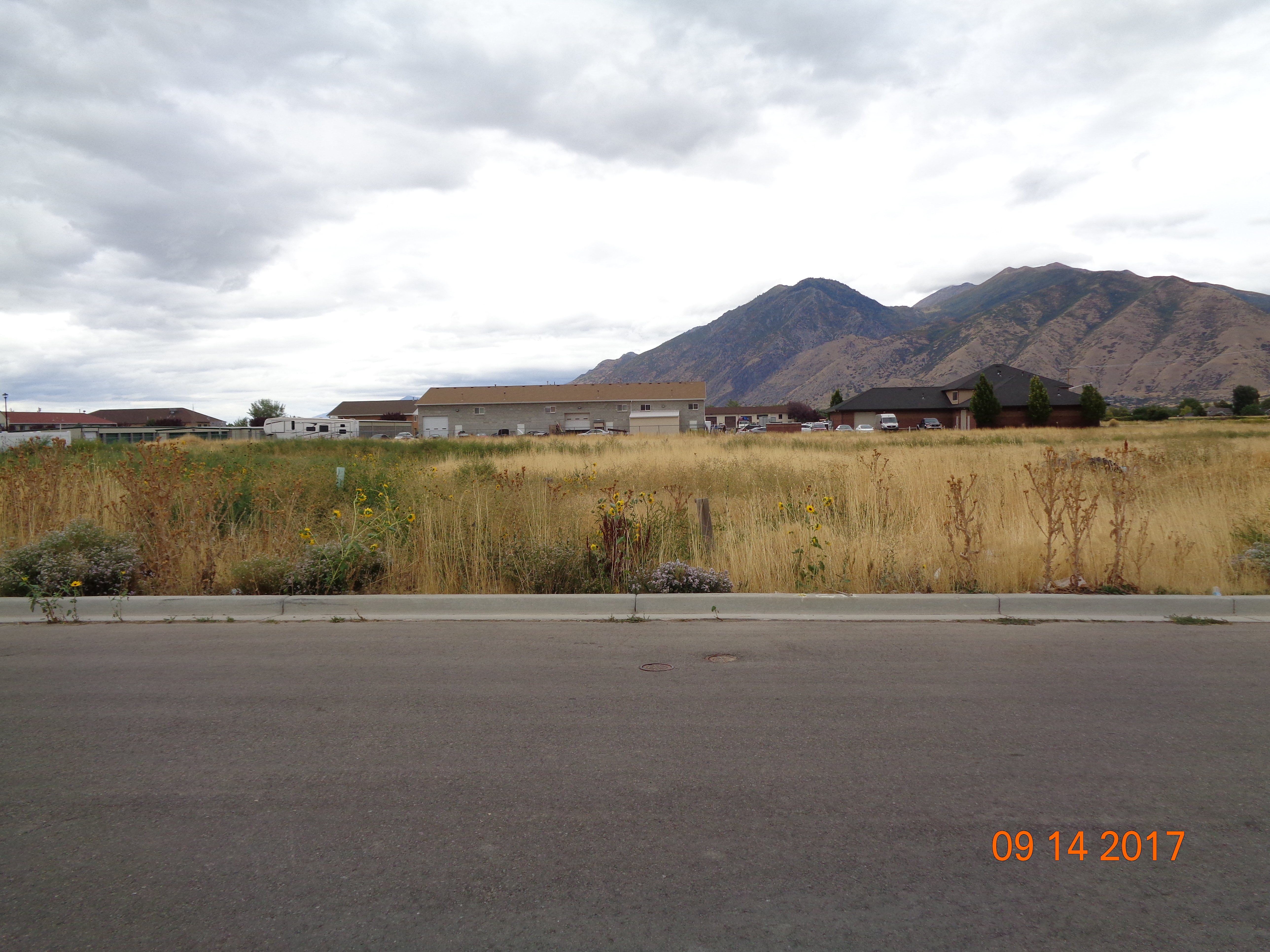
Total Photos: 2
|
| |
|
|
| Property Address: |
|
| Mailing Address: 548 S 700 W MAPLETON, UT 84664 |
|
| Acreage: 0.036044 |
|
| Last Document:
5427-2016
|
|
| Subdivision Map Filing |
|
| Taxing Description:
COM N 501.65 FT & W 284.9 FT FR E 1/4 COR. SEC. 16, T8S, R3E, SLB&M.; N 86 DEG 14' 38" E 29.76 FT; S 54.06 FT; S 89 DEG 59' 51" W 29.49 FT; N 0 DEG 13' 34" W 52.11 FT TO BEG. AREA 0.036 AC.
*Taxing description NOT FOR LEGAL DOCUMENTS
|
|
- Owner Names
- Value History
- Tax History
- Location
- Photos
- Documents
- Aerial Image
| |
----- Real Estate Values ----- |
---Improvements--- |
---Greenbelt--- |
Total |
| Year |
Com |
Res |
Agr |
Tot |
Com |
Res |
Agr |
Tot |
Land |
Homesite |
Tot |
Market Value |
| 2024 |
$15,100 |
$0 |
$0 |
$15,100 |
$0 |
$0 |
$0 |
$0 |
$0 |
$0 |
$0 |
$15,100 |
| 2023 |
$12,200 |
$0 |
$0 |
$12,200 |
$0 |
$0 |
$0 |
$0 |
$0 |
$0 |
$0 |
$12,200 |
| 2022 |
$12,200 |
$0 |
$0 |
$12,200 |
$0 |
$0 |
$0 |
$0 |
$0 |
$0 |
$0 |
$12,200 |
| 2021 |
$9,500 |
$0 |
$0 |
$9,500 |
$0 |
$0 |
$0 |
$0 |
$0 |
$0 |
$0 |
$9,500 |
| 2020 |
$9,500 |
$0 |
$0 |
$9,500 |
$0 |
$0 |
$0 |
$0 |
$0 |
$0 |
$0 |
$9,500 |
| 2019 |
$7,900 |
$0 |
$0 |
$7,900 |
$0 |
$0 |
$0 |
$0 |
$0 |
$0 |
$0 |
$7,900 |
| 2018 |
$7,500 |
$0 |
$0 |
$7,500 |
$0 |
$0 |
$0 |
$0 |
$0 |
$0 |
$0 |
$7,500 |
| 2017 |
$6,900 |
$0 |
$0 |
$6,900 |
$0 |
$0 |
$0 |
$0 |
$0 |
$0 |
$0 |
$6,900 |
| Year |
General Taxes |
Adjustments |
Net Taxes |
Fees |
Payments |
Tax Balance* |
Balance Due |
Tax District |
| 2025 |
$0.00 |
$0.00 |
$0.00 |
$0.00 |
|
$0.00
|
$0.00 |
140 - MAPLETON CITY |
| 2024 |
$0.00 |
$0.00 |
$0.00 |
$0.00 |
|
$0.00
|
$0.00 |
140 - MAPLETON CITY |
| 2023 |
$123.76 |
$0.00 |
$123.76 |
$0.00 |
|
$0.00
|
$0.00 |
140 - MAPLETON CITY |
| 2022 |
$125.16 |
$0.00 |
$125.16 |
$0.00 |
|
$0.00
|
$0.00 |
140 - MAPLETON CITY |
| 2021 |
$115.42 |
$0.00 |
$115.42 |
$0.00 |
|
$0.00
|
$0.00 |
140 - MAPLETON CITY |
| 2020 |
$119.32 |
$0.00 |
$119.32 |
$0.00 |
|
$0.00
|
$0.00 |
140 - MAPLETON CITY |
| 2019 |
$97.21 |
$0.00 |
$97.21 |
$0.00 |
|
$0.00
|
$0.00 |
140 - MAPLETON CITY |
| 2018 |
$96.95 |
$0.00 |
$96.95 |
$0.00 |
|
$0.00
|
$0.00 |
140 - MAPLETON CITY |
| 2017 |
$92.43 |
$0.00 |
$92.43 |
$0.00 |
|
$0.00
|
$0.00 |
140 - MAPLETON CITY |
* Note: Original tax amount (Does not include applicable interest and/or fees).
| Entry # |
Date |
Recorded |
Type |
Party1 (Grantor) |
Party2 (Grantee) |
| 40811-2023 |
03/20/2023 |
06/23/2023 |
TR D |
R & C SUMSION PROPERTIES LLC |
DANSKE CAPITAL LLC |
| 8958-2020 |
01/14/2020 |
01/23/2020 |
REC |
CENTRAL BANK TEE |
HARVEST PARK COMMERCIAL LLC |
| 139805-2019 |
12/30/2019 |
12/31/2019 |
REC |
CENTRAL BANK TEE |
HARVEST PARK COMMERCIAL LLC |
| 139129-2019 |
12/30/2019 |
12/30/2019 |
REC |
VANGUARD TITLE INSURANCE AGENCY LLC TEE |
HARVEST PARK COMMERCIAL LLC |
| 135801-2019 |
12/17/2019 |
12/20/2019 |
WD |
HARVEST PARK COMMERCIAL LLC |
R & C SUMSION PROPERTIES LLC |
| 21806-2017 |
03/03/2017 |
03/03/2017 |
TR D |
HARVEST PARK COMMERCIAL LLC |
TUCKER, JOHN |
| 20385-2017 |
02/03/2017 |
02/28/2017 |
D TR |
HARVEST PARK COMMERCIAL LLC |
CENTRAL BANK |
| 20384-2017 |
02/03/2017 |
02/28/2017 |
WD |
CENTRAL BANK |
HARVEST PARK COMMERCIAL LLC |
| 77313-2016 |
08/15/2016 |
08/16/2016 |
A TEE D |
BROWN, J SCOTT SUCTEE (ET AL) |
CENTRAL BANK |
| 5427-2016 |
01/21/2016 |
01/21/2016 |
TEE D |
BROWN, J SCOTT SUCTEE (ET AL) |
CENTRAL BANK |
Main Menu Comments or Concerns on Value/Appraisal - Assessor's Office
Documents/Owner/Parcel information - Recorder's Office
Address Change for Tax Notice
This page was created on 5/18/2024 5:50:45 PM |